Posts

Showing posts with the label Volcano

Hot water vents at bottom of Ilopango crater lake

Image
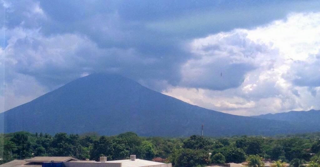
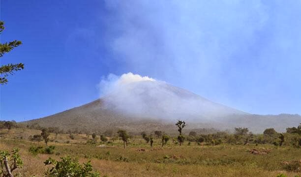
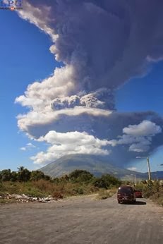
To the east of San Salvador lies the crater lake of Ilopango. This large lake fills the crater formed in the 5th century when Ilopango erupted in a cataclysmic event that wiped out Mayan populations and deposited deep ash over much of El Salvador. A local scuba diving business, Pacific Paradise Divers, recently released this high definition video of what lies below the surface of the volcanic lake. The video reveals hot water vents and the aquatic life around them. The vents are a reminder of the volcanic origins of this beautiful lake. More on the Ilopango crater From the Smithsonian Institution Global Volcanism Program : The scenic 8 x 11 km Ilopango caldera, filled by one of El Salvador's largest lakes, has a scalloped 150-500 m high rim. The caldera, which lies immediately east of the capital city of San Salvador, is strongly controlled by regional faults of the central Salvador graben. Four major dacitic-rhyolitic explosive eruptions during the late Pleisto...

Chaparrastique volcano watch

Image
The Chaparrastique volcano near San Miguel, El Salvador continues to show significant levels of internal seismic activity.   Authorities are on a high level of preparedness should actions be needed. The activity since yesterday has been at the highest levels seen.   The chart below shows activity during July -- the average, normal level is 50, and current levels are above 1100. This graphic shows the location of micro-quakes on the northern slopes of the volcano: The environment ministry continues to have a live camera feed focused on the volcano:

Preventive evacuations as Chaparrastique volcano threatens new eruption

Image
The Chaparrastique volcano near San Miguel has shown significant new activity since Sunday.  Officials at MARN stated there was a " high probability " of a new eruption.  The high level of internal seismic activity, with some smoke mixed with ash coming form the crater, prompted authorities to take preventive measures.   They have ordered the evacuation of more than 1000 persons living within a radius of 5 km of the crater and suspended classes at nearby schools for 72 hours.  There are reports of many people being unwilling to leave their homes and evacuate. The level of seismic activity remains strong on Tuesday morning. Go here for a gallery of tweeted images of the volcano during the day on Monday. The volcano began its most recent period of activity last December 28, with an explosion of ash and smoke . Check my twitter feed   @TimMuth for updates. Live streaming video from MARN monitoring camera:

Volcano still threatens

Image
The Chaparrastique volcano near San Miguel, El Salvador, continues to show signs of activity weeks after its  December 29 eruption.  From the summit of the volcano, plumes of smoke with sulphur dioxide (SO2) continue to rise in the air.  The monitoring station operated by the Ministry of Natural Resources shows that SO2 levels can rise to unhealthy levels when wind conditions are wrong. Scientists are also measuring micro quakes within the volcano, primarily on Chaparrastique's north slopes. Location of micro-quakes Increasing magnitude of micro-quakes As a result of this activity, the Ministry has been repeatedly including this sentence in all of its public statements about the volcano: Considering the current behavior of the volcano, the possibility of another eruption in the coming days through the central crater or its flanks cannot be ruled out. With the prospect of another volcanic event, the Ministry has installed multiple monitoring dev...

Current volcano problem is the smoke

Image
Although the Chaparrastique volcano in San Miguel has not exploded again since last Sunday, it continues to cause problems for the people living around it.  The volcano continues giving off smoke with high levels of sulphur dioxide, which is potentially dangerous to health.  The best source of updates continues to be the MARN website and twitter feed .  You can read more about volcanic sulphur dioxide at this link . As a consequence, authorities evacuated as many as three thousand additional people in recent days and are still advising people not to return home until the danger subsides.   There was a report that one 70 year old man was hospitalized from breathing the smoke after he returned to the house from which he had earlier been evacuated.   From people in the area, I have heard that evacuated people are obviously concerned about their animals and other possessions at homes they left.   Laborers who might otherwise be harvesting coffee on th...

El Salvador volcano update

Image
As of the afternoon on New Years' Eve, the Chaparrastique volcano continues to send up small clouds of smoke, but has not erupted again with the force of Sunday's explosion.   Currently MARN has a live camera feed aimed at the volcano which you can watch to see what it is doing at this very instant.   Check it out at this link . Here is a picture of the crater from an overflight earlier today: The Civil Protection authorities revised alert levels in the country earlier today.   The alert level in San Miguel Department remains at orange.   Usulutan has been lowered to yellow, and the rest of the country lowered to green.   Flights resumed into El Salvador's international airport. Authorities are currently urging people who had been evacuated from the immediate vicinity of the volcano (within a 3km radius) not to leave shelters  yet and return home.   While the level of activity monitored in the volcano has dropped significantly, authorities h...

Volcanic ash cloud from San Miguel volcano

Image
An enormous cloud of volcanic ash spread west from the Chaparrastique volcano near San Miguel after an eruption Sunday morning.   The explosion at one of El Salvador's most active volcanoes sent ash some 5 kilometers into the air.   By mid-afternoon, ash was starting to arrive in the greater San Salvador area. At 5:15, MARN was reporting that the volcano was only emitting gases and not ash and the level of seismic activity within the volcano had declined.   Still, the population was warned to be on the alert for additional possible eruptions. From  Reuters : Civil protection authorities said they would evacuate people from within three kilometers (1.9 miles) of the volcano and set up emergency shelters.  "The evacuations began almost right after the explosion," said civil protection official Armando Vividor. He said some 5,000 people lived around the volcano.  The volcano, which is about 140 kilometers (86 miles) to the east of the capit...

Chaparrastique Volcano in San Miguel erupts Sunday morning

Image
\The Chaparrastique Volcano, also known as the San Miguel volcano erupted around 10:30 on Sunday morning sending ash and a column of smoke into the air.   Approximately 2000 people are being evacuated by authorities within a 3 km radius around the volcano. According to El Salvador's director of Civil Protection,  Jorge Meléndez, the most affected areas are to the south and west of the volcano including the towns of San Jorge, El Tránsito, Chinameca, San Rafael de Oriente and Jucuapa.  The falling ash could extend to the municipalities of  Santiago de María, Santa Elena and Usulután. As a result of the ash and smoke, the entire country was placed on yellow alert, and the area around San Miguel placed on orange alert by emergency authorities.  People in the area where ash is falling are being advised to take steps to avoid breathing it, but also to be constantly cleaning the ash off their roofs to avoid roof collapse.  No injuries had been rep...

El Salvador's volcanic landscape

Image
With volcanoes in the news lately, a look at some of El Salvador's volcanoes seems timely. The photo above was taken by a NASA astronaut and provides a stunning relief picture of the San Miguel volcano and other volcanoes near Usulutan. The website Fire Earth has a description of the volcanoes and their history: Usulután : Formed during Holocene (an ongoing geological epoch that began about 12,000 years ago). El Tigre formed during the Pleistocene Epoch (2.588 million to about 12,000 years ago), probably the oldest of member of the family captured in this astronaut photograph. The summit crater of El Tigre has eroded. Chinameca Volcano (also known as El Pacayal) has a two-kilometer-wide caldera formed after a powerful eruption caused its dome to collapse. San Miguel (also known as Chaparrastique), the youngest member of the family, is situated about 15 km southwest of the city of San Miguel, where it takes its name from. It’s one of the most active volcanoes ...

Chaparrastique volcano rumbles

El Salvador is a land of volcanoes, and one of them is rumbling. From the AP : SAN SALVADOR, El Salvador Authorities in El Salvador declared an alert on Tuesday for an area around the Chaparrastique volcano after the peak began rumbling ominously. Interior Minister Rene Figueroa urged about 45,000 people who live within an area roughly 4 square kilometers (1.4 square miles) around the peak to be ready for a possible call for evacuations. Seismologist Carlos Pullinger said the volcano had been experiencing relatively small, imperceptible tremors for days, but that in the last several hours had emitted 'continuous, abnormal vibrations.' Such vibrations are sometimes observed before an eruption. The 2,129-meter (7,025-foot) volcano, located about 145 kilometers (90 miles) east of San Salvador, the capital, erupted in 1976. San Miguel, one of the country's largest cities, is located 50 kilometers (30 miles) from the volcano.